FairPlay to Leadville and back 8/3-8/4 | Ford Explorer Forums - Serious Explorations

  • Register Today It's free!

FairPlay to Leadville and back 8/3-8/4

2TimingTom

Elite Explorer
Joined
October 12, 2010
Messages
2,498
Reaction score
99
Location
Littleton, CO
City, State
Littleton, Colorado
Year, Model & Trim Level
'97 XLT
When: August 3rd
Meet: 8:30 am with roll out at 9 am
Where: The Brown Burro: 706 Main St, Fairplay, CO (on Highway 9 just off 285). Looks like a decent coffee place for you java heads. There's a gas station out on 285 to top off at.
CB channel: 4
Route: head up to Alma from Fairplay. I'd like to do Mount Bross (http://www.traildamage.com/trails/index.php?id=116) just because it's right there. It seems like an easy trail, yet offers some amazing views. Plus I want to check off each trail from Trail Damage that I can.

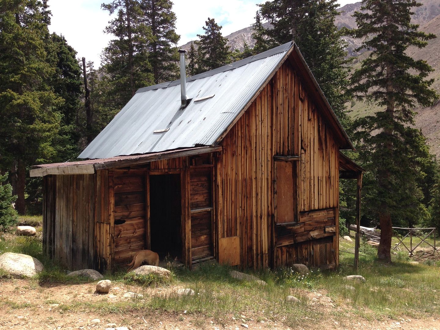
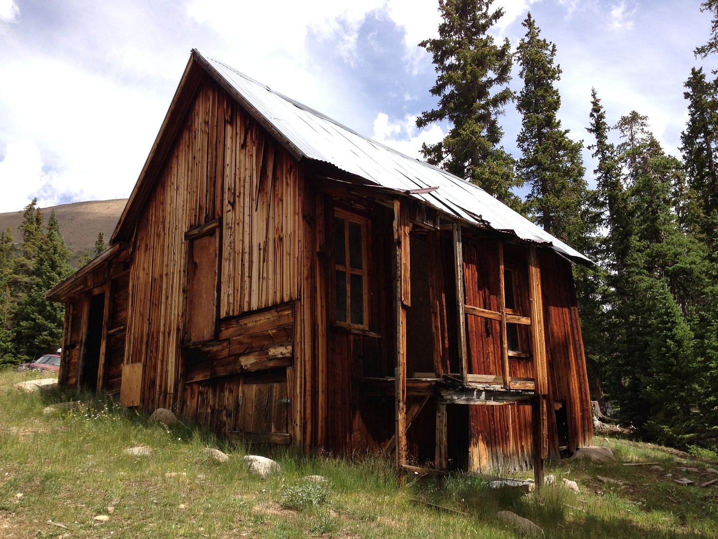
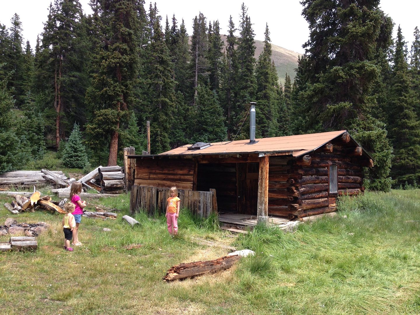
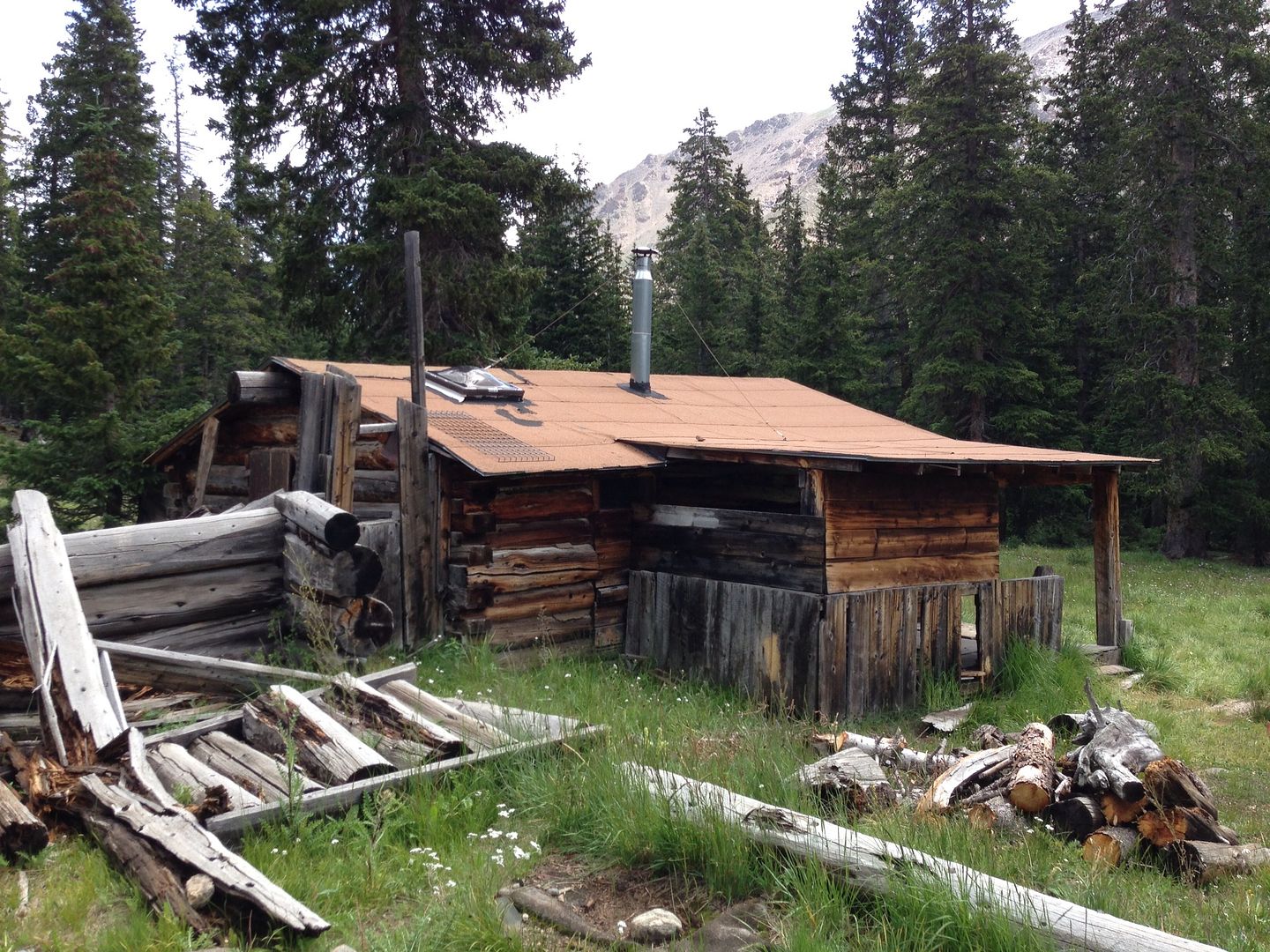
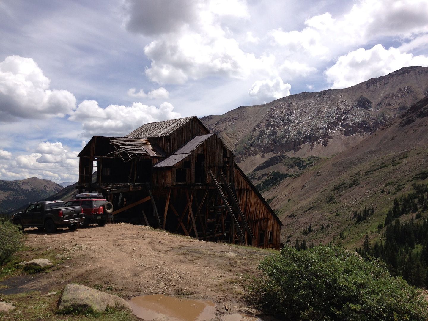
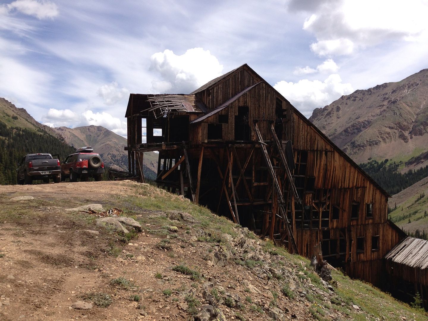
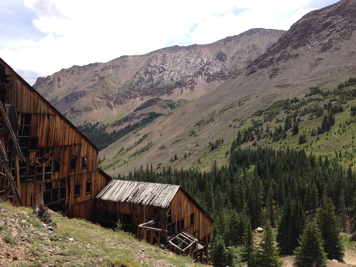
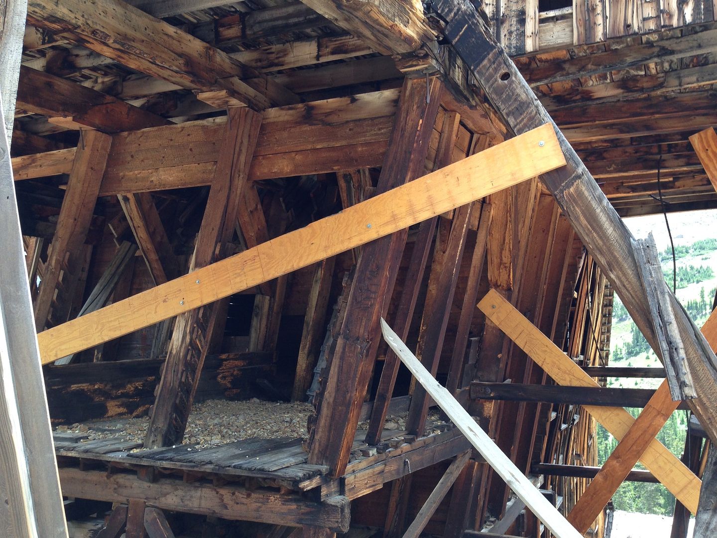
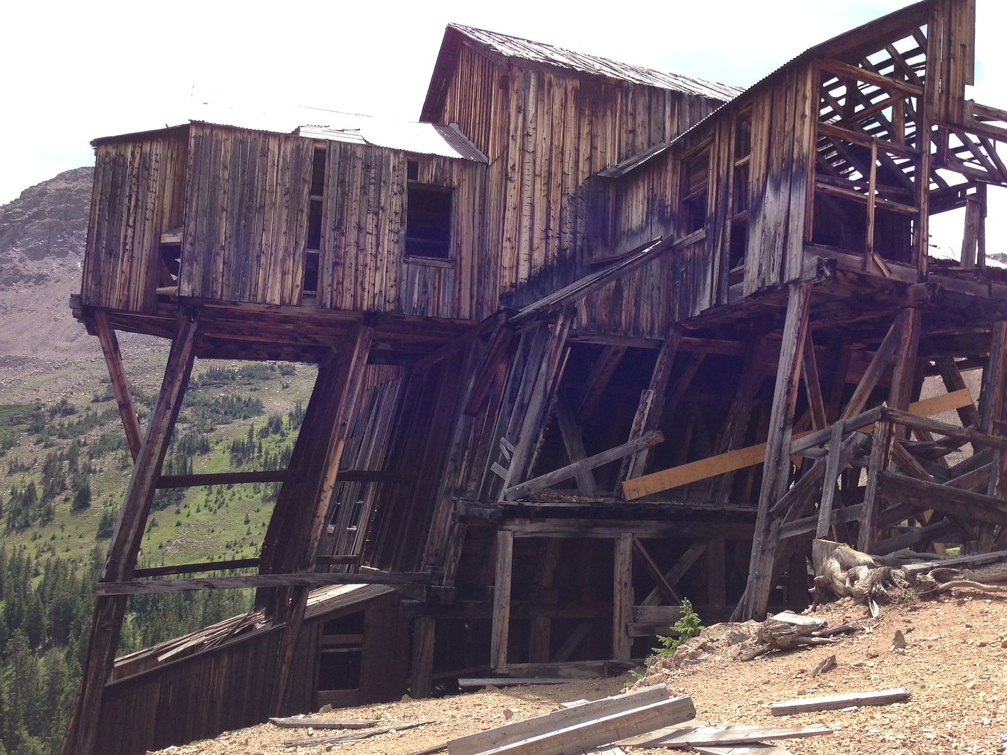
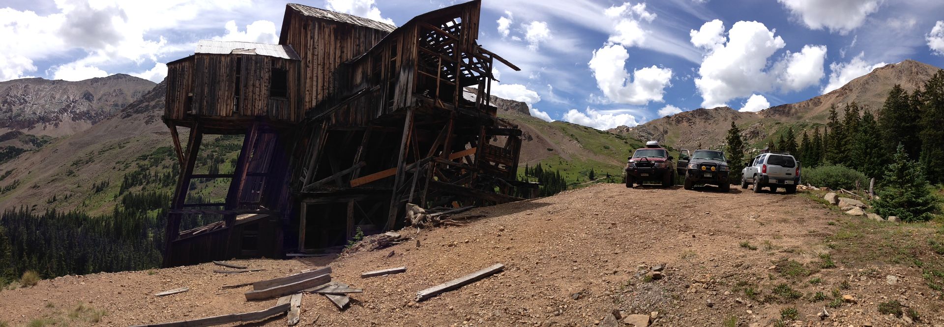
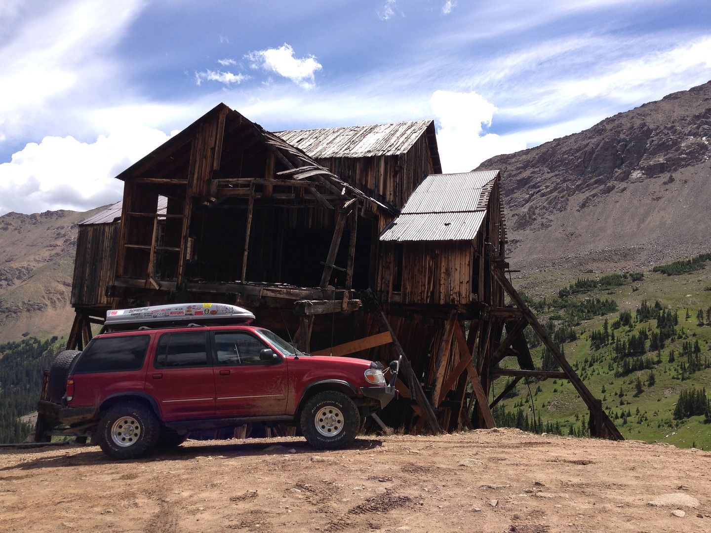
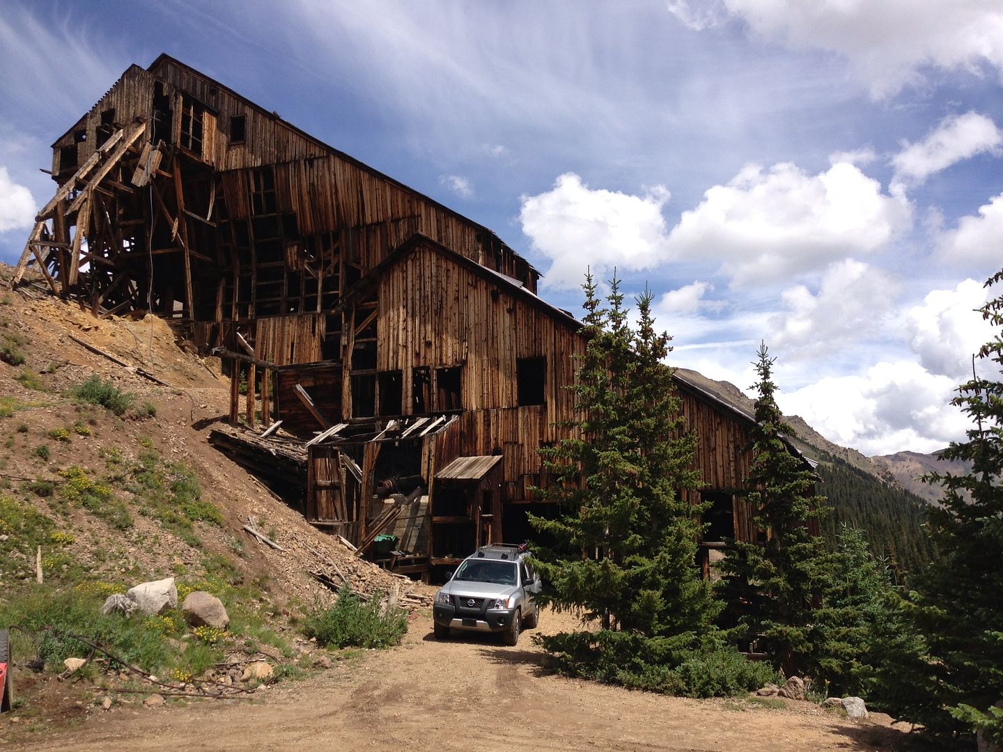
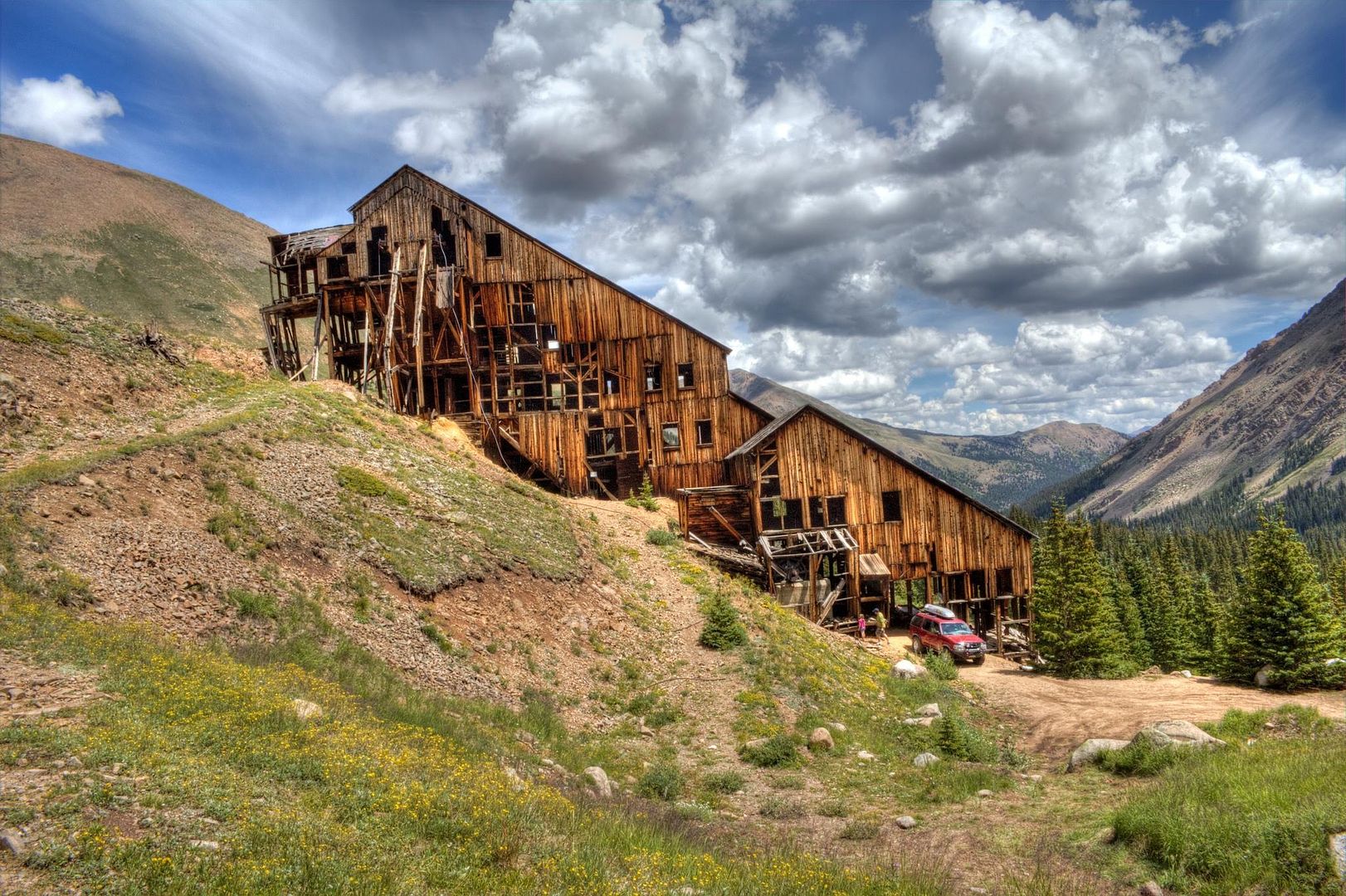
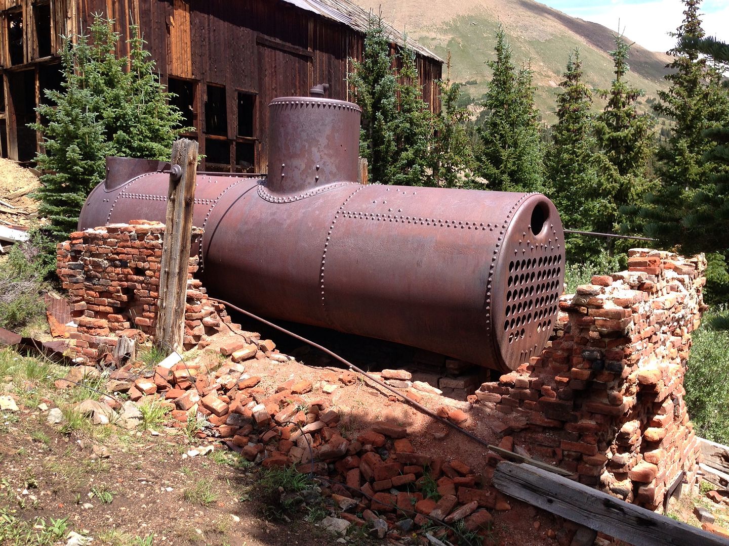
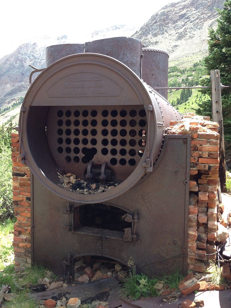
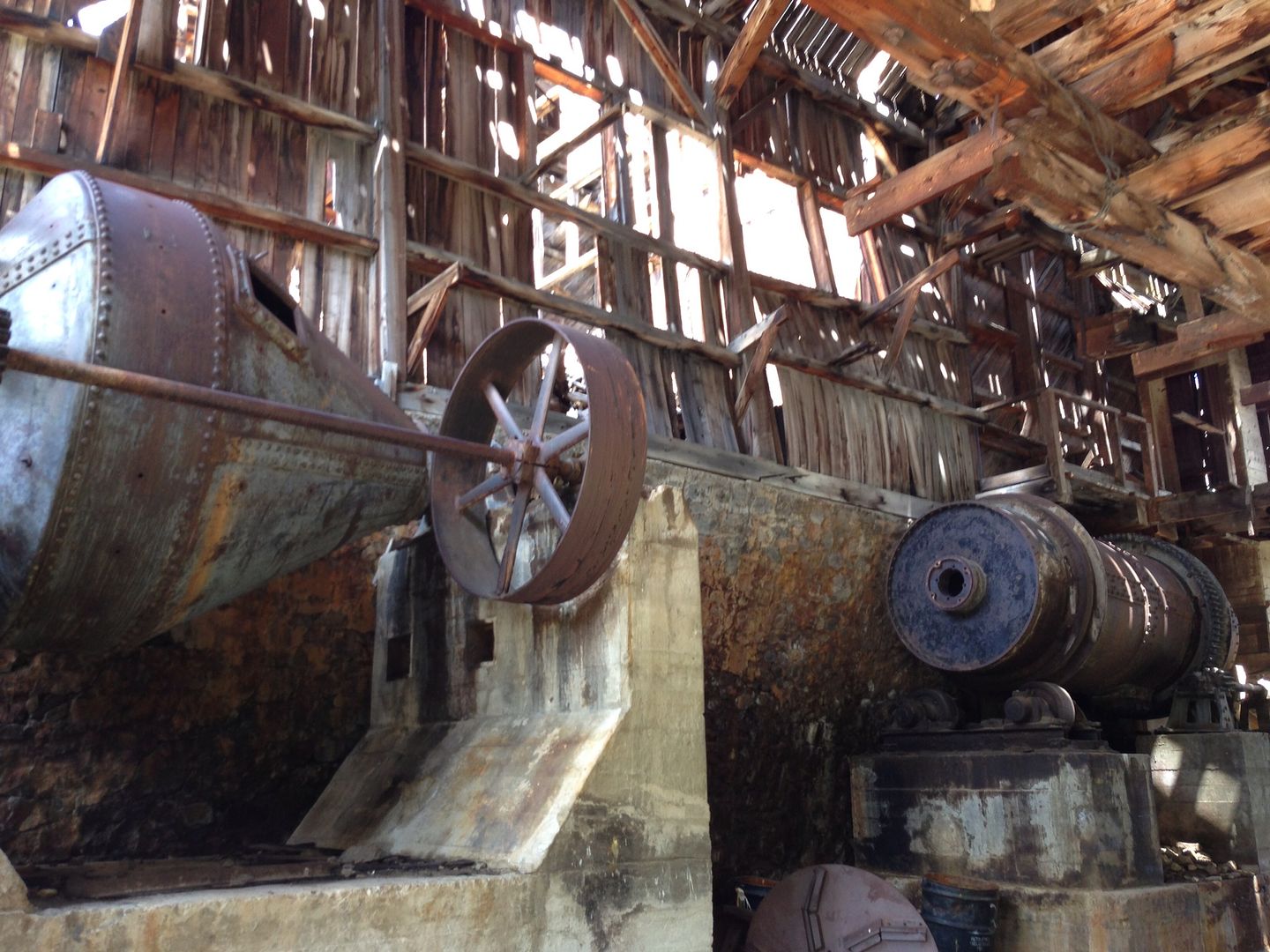
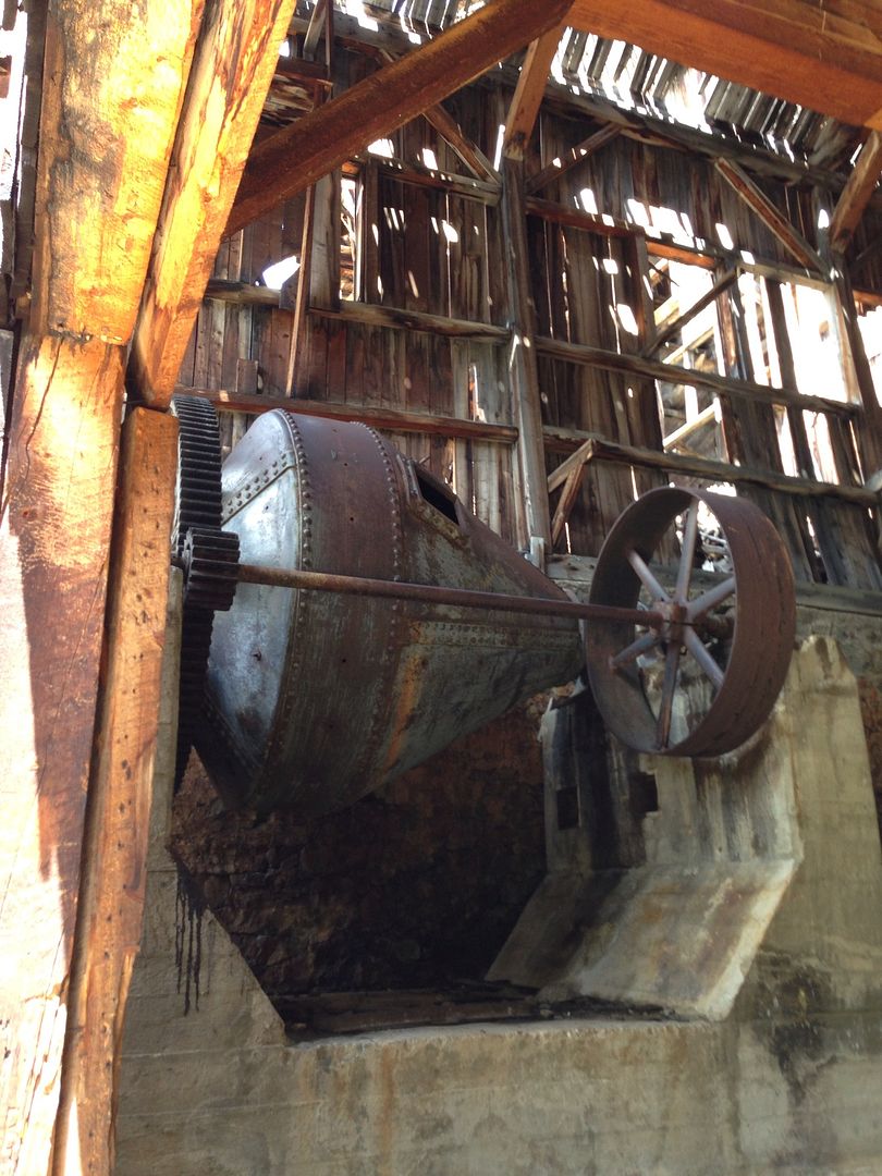
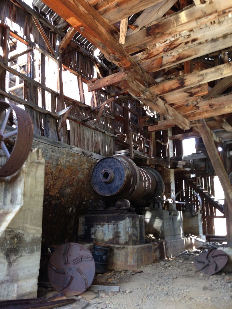
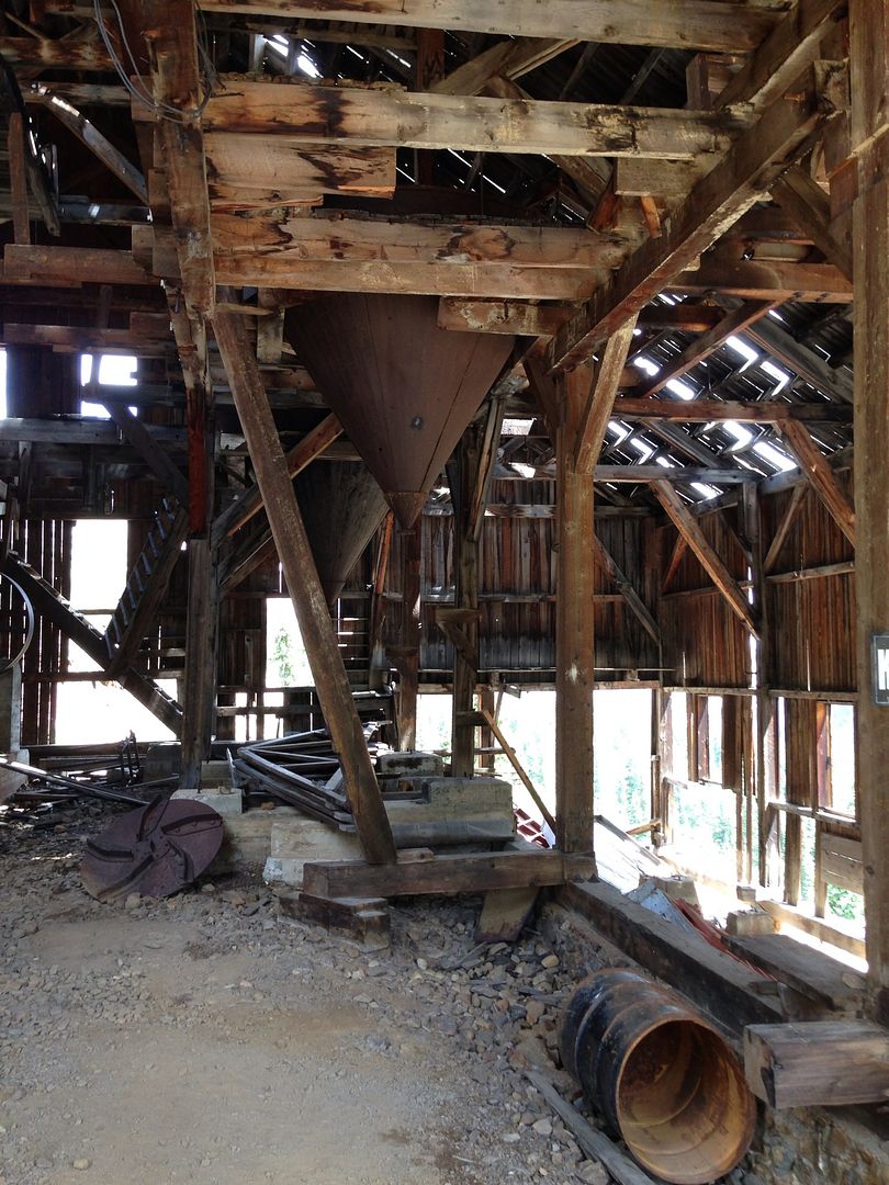
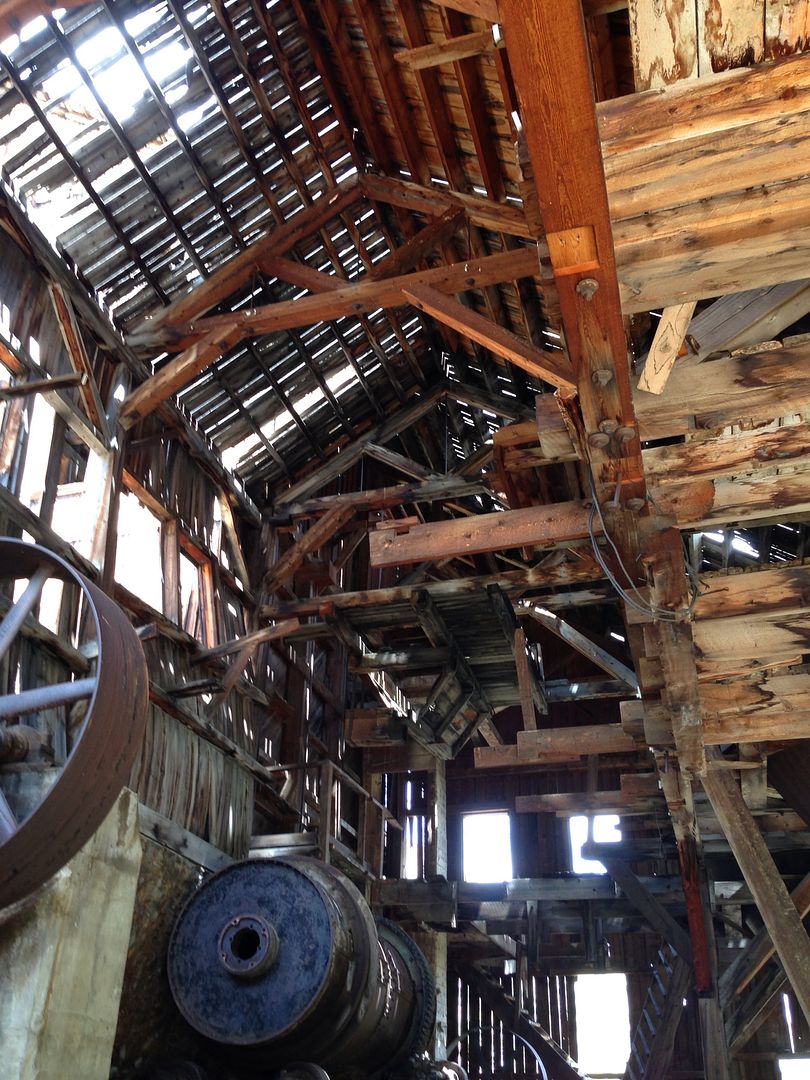
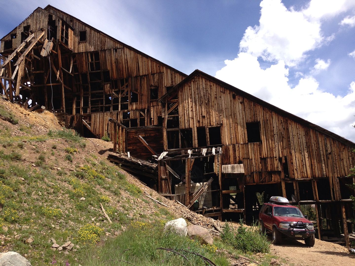
Next, head back to Alma to start Mosquito Pass (http://www.traildamage.com/trails/index.php?id=41). This looks like a fairly easy trail yet has some old mine buildings to "explore" and photograph.

Mosquito Pass dumps into Leadville. Depending on how things go on the trail, we might be ready for lunch (but I'll prepare to eat on the trail). I'll have my 2 girls with me and my dog- so if we eat in Leadville, we will need to be considerate of not leaving the dog in the truck.

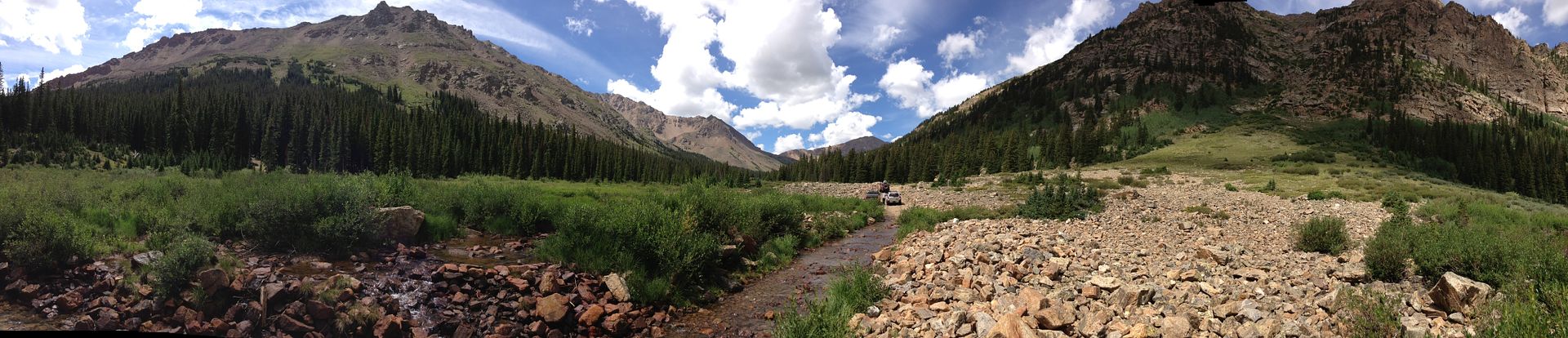
Next we'll do Halfmoon Creek (http://www.traildamage.com/trails/index.php?id=42). This trail looks like a lot of fun with the various water crossings. I figure we'll look for a camp spot somewhere on this trail.

Sunday Morning:
Eat breakfast and break camp. Then finish the rest of Halfmoon Creek.
Start Time: eh, whenever.....

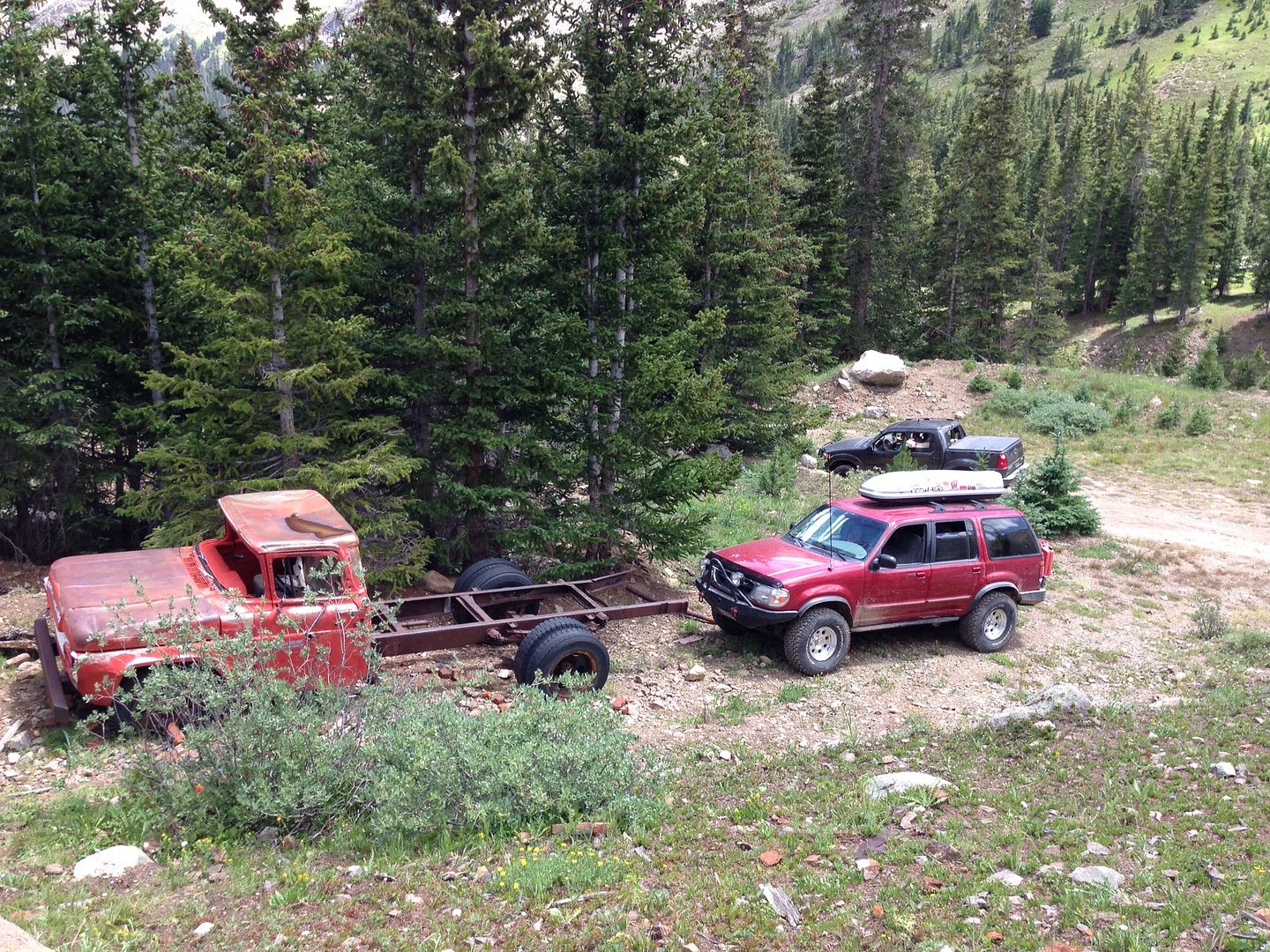
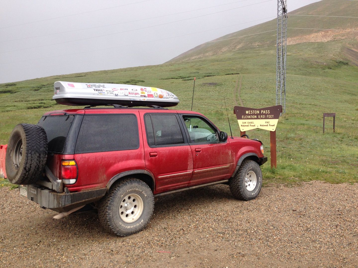
For me, I'm going to head home via 285, so I'm going to take Weston Pass (http://www.traildamage.com/trails/index.php?id=110) back over to Fairplay. But then perhaps I'll take Guanella Pass (http://www.traildamage.com/trails/index.php?id=54) up to I-70 just to check off another "trail" even though Guanella is paved (or mostly).

This trip is family friendly and laid back. I also like my trips to be as pet friendly as possible, so if you have a dog that likes to 4wheel, bring him/her along. If we don't do all the trails listed because of time/weather/whatever- no big deal. We can replan in the fly. We adhere to the "stay the trail" philosophy while on the trails.

Who's in?

In:
Me (+2 kids and a dog)
theluke19 (+ girlfriend and Mae Biggs (a dog))
Zukrider (Joe- 2011 Stock Xterra, from frontrange4x4, + I believe his wife)
Ryan (stock late 90's WJ- only in for Saturday, + possibly a buddy of his)
A Tacoma?

RSVP'd no:
John (H1)
Brian (Lexicruiser)
Jason (J10- it's got issues and the tow vehicle isn't 100% after he stuffed it in a snow bank over the winter)


Join the Elite Explorers for $20 each year.
Elite Explorer members see no advertisements, no banner ads, no double underlined links,.
Add an avatar, upload photo attachments, and more!
.


Might I also suggest running McAllister gulch into Redclliff? I think you'd enjoy that route--and dangit I want to see an explorer get over that stupid rock 2/3 of the way up.


Might I also suggest running McAllister gulch into Redclliff? I think you'd enjoy that route--and dangit I want to see an explorer get over that stupid rock 2/3 of the way up.
Thanks. I'll keep this one in mind for a future trip.


I had no idea they re-instated the Local boards - like Colorado Contingent.

Guess I might as well RSVP here! See ya tomorrow morning, Tom!

For those interested, sounded like Tom says that at this point, we're likely looking at 3 definite's and 1 maybe - Myself/Girlfriend/Dog in my Sport Trac - Tom and his Pooch (maybe his daughter?) in his Explorer, a local fella, in a newer stock Xterra, and another local fella in his slightly modified newer Tacoma.

Should be a good time - we'll probably see people who are out there with Colorado's offroad gathering, All 4 Fun, which is in Leadville this year. Comparing our schedule vs their trail schedule, I don't believe we'll see any of them on the trails, but who knows. I do know that they're running Halfmoon Creek early on Saturday.


Maybe have the modified official headcount in the original post?

For those coming - it is a low in the 40s at night, pack so that you can sleep warm.


Tom, I'm also seeing 60% precip/ thunderstorms on Saturday and 40% sunday - Does this change your mind on camping at HalfMoon Creek considering the water crossings?


Tom, I'm also seeing 60% precip/ thunderstorms on Saturday and 40% sunday - Does this change your mind on camping at HalfMoon Creek considering the water crossings?

The area I am intending on camping (the lower part of Halfmoon Creek) is before any of the water crossings. So if the rain is heavy and the creek is running high, we won't get committed by heavy overnight rains. And then we will make a real-time decision whether or not to proceed on the trail or go a different way- like do Weston Pass first and then do Guanella Pass/Geneva Creek or Webster Pass (or even Red Cone).


IMG_3543_tonemapped.jpg


The write up for Day 1:

I had the truck all packed up and loaded on Friday so I could easily leave by 7am Saturday morning. But I forgot to factor in 2 things: Courtney and Emily- my 2 daughters that I was taking along. They were still eating breakfast at 6:53 that morning and still needed to get dressed. AAAHHH!! Finally got them in the truck and rolled out at 7:13. Then I realized that I had forgotten the GPS. DOH! Back to the house we went.

The rest of the drive to Fairplay was uneventful and we pulled into the meeting spot, the Brown Burro, at about 8:40. Already there was theluke19 (Luke) and his girlfriend Katie with their dog Mae Biggs in the Explorer Sportrac. Inside eating was Ryan and his buddy Tim who would be in the Jeep Grand Cherokee. A few minutes later, zukrider (Joe) arrives with his girlfriend Jen and little girl Emma in his new-to-him Xterra. Ryan reports that the food at the Brown Burro was quite tasty.

After introductions were made, we rolled out for Mount Bross at 9am, right on time. Excellent.

We drove up the highway into the small town of Alma, which is known for being the highest incorporated town in the country. We quickly found the road that heads up the mountain and out of town. It wasn’t long until we came to our first stop: Buckskin Joe Mine. This was just a quick stop. It seemed like it was long enough to jump out of the truck, snap a few pictures, look up at the mining buildings WAY up on the mountain across the way and then get back in the truck and take off again.
attachment.jpg


What I didn’t know was that the start of the actual “trail” was about 150 feet up the road from where we just stopped. So we stopped again to air down. I took the BFG KOs from about 33 to 23 psi. I wasn’t expecting anything difficult where we’d need the traction, but a softer ride would be appreciated by all.

The first couple miles of the “trail” weren’t bad. It reminded me of Rollins Pass East, except in better condition and without the view (i.e., there were lots of potholes). It wasn’t long until we came to a bend in the road with an optional steep climb. No one cared to try it until Ryan decided to go around to the top and come down, and then quickly turned around to go back up. Pssshhhhh! If a stock Grand Cherokee on highway tires down nearly to the wear bars can do it, surely I could make it with my full depth KOs and 4.56 gears. I lined up, shifted into 4lo and put the transmission in 1st and set off. My first impression: “wow, this is steeper than it looks, and it looks pretty steep” followed quickly by: “crap! I don’t have enough speed!”. The weight of the camping gear and open diffs caused my Explorer to transform into a bright red tiller as my tires spun and dug into the soft dirt near the crest of the hill. At least, that’s my excuse anyway. Backing up down a really steep incline like this is always a treat as I feel like my brakes barely contribute. I lined up for my second attempt…. with similar results. One last attempt, I gave myself a longer run up area to get more speed. Third time is a charm! Next Luke gave it a go and also had to take a couple runs at it before it made it. There was some mis-communication over the radio about Joe trying it or not and we weren’t in position to get any good photos of him. He made it in his first attempt as well. I later learned that the Jeep had some kind of fancy hydro torque splitting black magic and the Xterra was locked. Cheaters.
attachment.jpg


We continued up the trail trying to navigate the seemingly endless split offs. The book we had with us said that all trails eventually end up at the top. OK fine. We managed to get a little separated but we were still in radio contact with each other. The trail I was on was partially blocked by this:
attachment.jpg


I believe I could have got by it, but without a spotter I felt like I would get too close to that soft edge and get into a bad situation. Plus I knew that I was the only one on this spur. I turned around and caught up to the rest of the group that had rejoined each other.
attachment.jpg

attachment.jpg

attachment.jpg

attachment.jpg

attachment.jpg


After many switchbacks and a slow, steady climb, we neared the top. I found a unique wooden structure that had some ice and a little bit of snow in it. I’m guessing this has been here for MANY years.
attachment.jpg

attachment.jpg


We could see hikers off in the distance on Mount Lincoln. We would later catch up to a few of them on Windy Ridge and they were a little surprised to see four 4wd vehicles up there. Joe told us that there is a land dispute going on right now and that the summit is technically on private property. This fact wasn’t going to stop the hikers, but the established 4wd trail started to really fade from here on up. From here, we went just back down the trail and took another spur that went up the mountain. This one ended up at a nice large area and we decided to have some lunch. Ryan also heard a hissing noise from his left front tire- the nail he knew he had in the tire had been pushed through by all the rocks on the trail. And so, according to Luke’s GPS, Ryan changed his flat tire at 13,970 feet. There was some huffing and puffing while doing this normally easy task.
attachment.jpg


With the weather starting to move in and this trail taking longer than I had anticipated, we headed down the mountain. On the way down, Joe stopped to take some pics of the Bristlecone Pines. Some of these trees are believed to be over 5,000 years old. I only snapped one pic from the truck.
attachment.jpg


Back in Alma, we made a quick stop at the AL-MART, which I thought was a clever play on words, to get some snacks, bathroom break and a bag of ice. We also parted ways with Ryan and Tim at this point. They had wanted to do Mosquito Pass with us but it would have been a long day for them to drive back to Parker afterwards.

Next up was the Mosquito Pass trail which is just south of Alma. One of the highlights of this trail is the London Mill/Mine. We made the required short detour off the pass road to check it out. Joe was the only one willing to take his truck across the creek. The mill itself it pretty impressive. The structure is slowly falling down from the years of exposure to the elements. Joe remembers that when he was here last (8 years ago), there were walls up on all sides of the building.
attachment.jpg

attachment.jpg

attachment.jpg

attachment.jpg

The weather was starting to move in and the temp was dropping (although I thought it felt great) so we loaded back into the trucks and continued up the pass. From here, we really started to climb. The trail wasn’t difficult, it was just very rocky and bumpy. The rain was more of a mist at this point but still enough to keep the windows in the truck closed.
attachment.jpg

attachment.jpg

attachment.jpg

attachment.jpg


Near the summit, there was a decent amount of snow left over.
attachment.jpg


Once at the pass we stopped to get the required picture of the sign. Again, it was pretty windy and cool so we didn’t stay long.
attachment.jpg


The west side of the pass immediately offered some amazing views of Leadville below and Turquoise Lake. The drive down was uneventful and as evening was upon us, discussion of finding a campsite ensued. Joe assured us of some choice spots on the lower part of Halfmoon Creek. We agreed to let him show us since what we finding on Mosquito Pass wasn’t the greatest. After a quick stop in the very crowded Leadville for some gas and another bathroom break, we headed south out of town to find our campsite.
attachment.jpg

attachment.jpg

attachment.jpg

attachment.jpg


What Joe led us to was one of the best free camping spots I’ve ever been to. It was just off the main road, but we were up the hill enough that we couldn’t see it- although we could hear the occasional load truck rattling on the washboarded road. The entire time we were in camp, not a single vehicle drove by on our little spur road. Lucky, my dog, and Mae Biggs had a great time running all over while we set up camp and gathered wood for the night’s fire. We cooked some dinner and sat around the fire admiring the countless stars overhead. Overnight, it got down to the low 40s or high 30s, but I slept pretty well.
attachment.jpg


Write up for Day 2 will continue some other time. Hope you enjoyed it so far.


Thanks for the pictures.

Really looking forward to the Labor Day trip!


Day 2
Day 2 began at…….. I don’t know. With 2 kids that normally wake up early when at home, they wake up even earlier when sleeping in a small cold tent with a dog constantly trying to find a warm spot. Poor dog needs a blanket.

After we crawled out of the tent, I decided to take a walk up the main road to try to bring quiet back to the campsite- little girls have a hard time being quiet. When we returned, I made some breakfast with some hot chocolate to help warm us up.
c52c047c74bb1bd172b3920d40bf3b92.jpg


Even though we’d be headed right back past our campsite after we did Halfmoon Creek, I decided to break camp before leaving. And by doing so, I’d need to unpack everything when I got home and let it air out and most of the stuff was damp with the dew that formed overnight. Luke did the same while Joe left most of his stuff set up.

As we headed up the first part of the trail, I was amazed at how many people were camped along the road. It was almost constant until we got to the actual trailhead, and even then, campsites dotted the trail for quite a while. Joe radioed that some of these people were camping so they could hike Mount Elbert and the other 14ners in the area. The trail itself wasn’t bad- no major rocks to climb or steep sections to negotiate. We decided earlier that we were only going to do the north half of the Halfmoon Creek trail, partly because the rocks exiting one of the water crossings on the south side were challenging and partly because the mine at the end of that spur isn’t nearly as neat as what is at the end of the north spur.

The first water crossing we came was a neat one. The entrance was nice and smooth, the water was pretty deep and was running reasonably fast, but the exit was hidden behind a point that sticks out. Had I not seen Joe drive around it, I don’t know if I would have known where to go. Joe later said that his memory of the crossing was a little foggy until he watched a group of Jeeps go around that point.
IMG_5487_zps9edd0096.jpg


The rest of the trail was typical of the previous. The second water crossing was pretty long- it’s about as long as Coney Flats except it doesn’t stay as deep for as long as it does on Coney. I have videos of this crossing that I need to upload and there should be more pictures coming as well.
2d41d6b4d0cbb445ed13353e99414aca.jpg


A little further up the trail that is a gate with a 4 way intersection. Straight ahead is the Champion Mill, to the right are 2 old cabins and to the left is the trail up to Iron Mike Mine. We stopped at the cabins for a few minutes.
6774994ea0ed0478fdd169e3a3a9a80f.jpg

2726641cd0ac58a7b85258346f4a0a0d.jpg

70b40c8e43eec87442c373c53f298d24.jpg

7213917671ce3e620f3073be956e4c37.jpg

7741f3ad0fbd86c6a65c7ff3af5e9843.jpg

I peeked in the cabin with the sky light and chimney and could see a folding table, a chair and some kind of plastic cooler. Someone uses this cabin for something, but the walls look like they’d do little to keep the wind out and the heat in.

A little ways up from the cabins is the crown jewel of this trail: the Champion Mill. WOW! The size of it is impressive. And while it looks like it’s about ready to fall over, it’s still largely intact. My advice is to get up there and see it before it does fall over though. It might not be too much longer.
The most challenging section of the trail is the last little climb up to the top of Champion. It’s just a short, steep section with some rocks. To my knowledge, no one had any issues with it. Here’s Joe climbing up it:
498f16e5d6c40ea19b70e9d9e515f138.jpg


The Champion Mill:
c12bf2a8a39ee4b5fde17406426c5ec5.jpg

(yes, that white stuff on the mountain across the way is fresh snow from the night before)
1d1338023c63e626d8d4c4198ff40890.jpg

85a2a1548dbd8c5de71ee9123713034c.jpg


Some attempt to keep it from falling over has been made, but I think it’s a losing battle:
f838c01810c9283b8231d6887ad0bd15.jpg

95a5af4a846dd61879569662c8813e8f.jpg

b1a10fc5c9b40ea1e7fdcf1d821bd28d.jpg

c783307fc0f6f3682a4c5bc8f31c78f8.jpg

b34e1144682b6b72c10cf202eef13e7b.jpg

3afab9938419964da33df616ed3935b1.jpg

b0970877fa72e57fa0f222c3d3d2e69e.jpg

c30b0374eee824ff7527b782889b8755.jpg

13cb7acd0e1bac37f21edf043b536bb3.jpg

97821c500fbc8bf9ed9a0e50f1d29b4c.jpg

1c2cb0c460f20d8ed7d14dba37927019.jpg

b355443bacd98c81b1695b02cabcdbe0.jpg

d9b8babb21013ff0195df3e98369178e.jpg

25cbc7ca6a06bae07215e27748681186.jpg

6640d069caea76fcd1db7229756154e7.jpg


We then headed back down the trail and returned to the campsite. I made some lunch while Joe finished packing up his tent. From here we decided to split up a little. Katie wasn’t feeling too well and wasn’t quite up for another trail so she and Luke decided to take a more direct (and paved) route back while Joe had no interest in doing Weston Pass. I wanted to check off one more from the list of trails so I stuck with the plan.

Weston Pass itself is really nothing to go out of your way for. Although I did notice an abundance of aspen trees so it would be a good one for fall colors. While on the west side of the pass, it rained pretty hard. The trail was more like a streambed than a trail as there was a constant flow of water down the trail as we climbed up. Once at the top, I pulled over to get the required “rig by sign” picture. It was cold and rainy so I didn’t stay long. But not more than ½ mile down the east side of the pass, the sun was out and the trail was completely dry. Weird.
3a995047b2d0c28ccf64293dbaa23c33.jpg

d0694ee4b76018306a6ac1b2b6a8691c.jpg


Once we were back on 285 and headed home I saw a sign as we came into Jefferson. The sign said: “best burgers in the world” or something like that. Maybe I was just delirious with hunger after getting shot down in my attempt at getting BBQ in Fairplay- the place was closed and there was a sign that said “Sorry, we’ve gone wheeling” but the Jeep pictured on the sign was parked out front with an “OPEN” banner tied to it. We stopped to grab some dinner at the Hungry Moose Caboose. Out front was a 1925 Ford Model T that allowed you to sit in it and take pictures.
cbeb34869c54ae18ad7850022784cb52.jpg

912d18885191198f18d352e240f9c0bd.jpg

The burgers and fries were OK. They hit the spot but I don’t know if I’d call them “best” of anything. After we were back on the road and were on the east side of Kenosha Pass, traffic backed up and was crawling along for several miles. But after 2 days, 279 miles, 4 mountain passes (Kenosha – twice, Mosquito and Weston), 4 river crossings (may have been the same river- twice out and twice back), a dozen or more smaller stream crossings and countless puddles later, we were home.
9f183de2f60194fd4c61b4cce4c1a71f.jpg


Back
Top